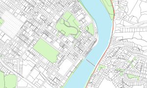

GIS Downloads
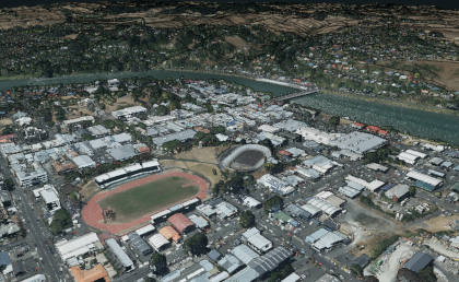
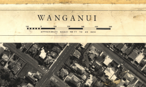
Aerial Photo Downloads
Aerial Photo Downloads in GeoTiff format ready for your GIS.
Civil Defence Downloads
Civil Defence downloadable PDF Maps.
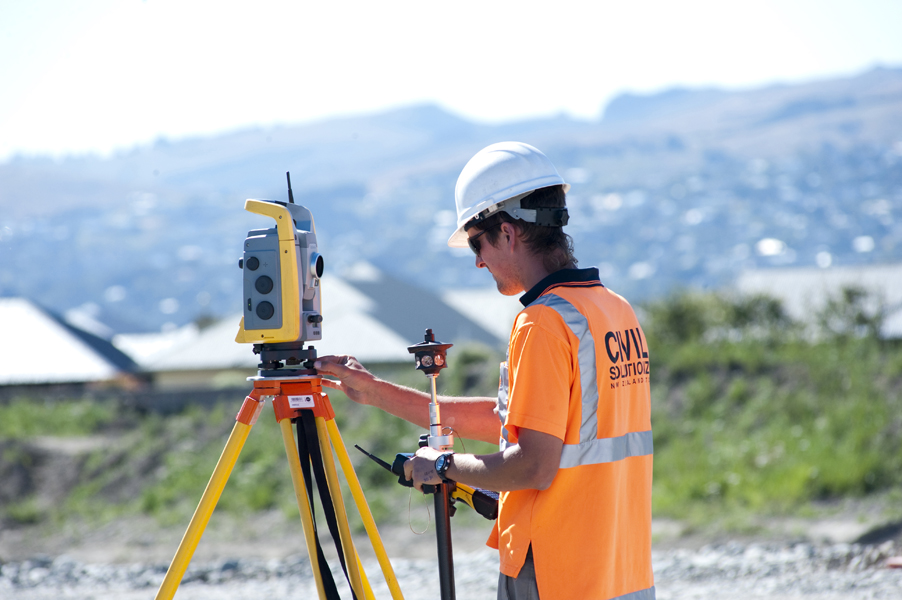
Welcome to Whanganui Geospatial, where we maintain a rich set of online interactive geospatial viewers and geospatial datasets relating to the Whanganui District.
Aerial Photo Downloads in GeoTiff format ready for your GIS.
Civil Defence downloadable PDF Maps.